← Back to the map
6 days · 16 waypoints · G318/G219 · Lhasa → Ali South Line → back
Tibet · Monsoon Loop
西藏·雨季环线
Latitude 29.6500°Longitude 91.1300°
Frames
1 frames
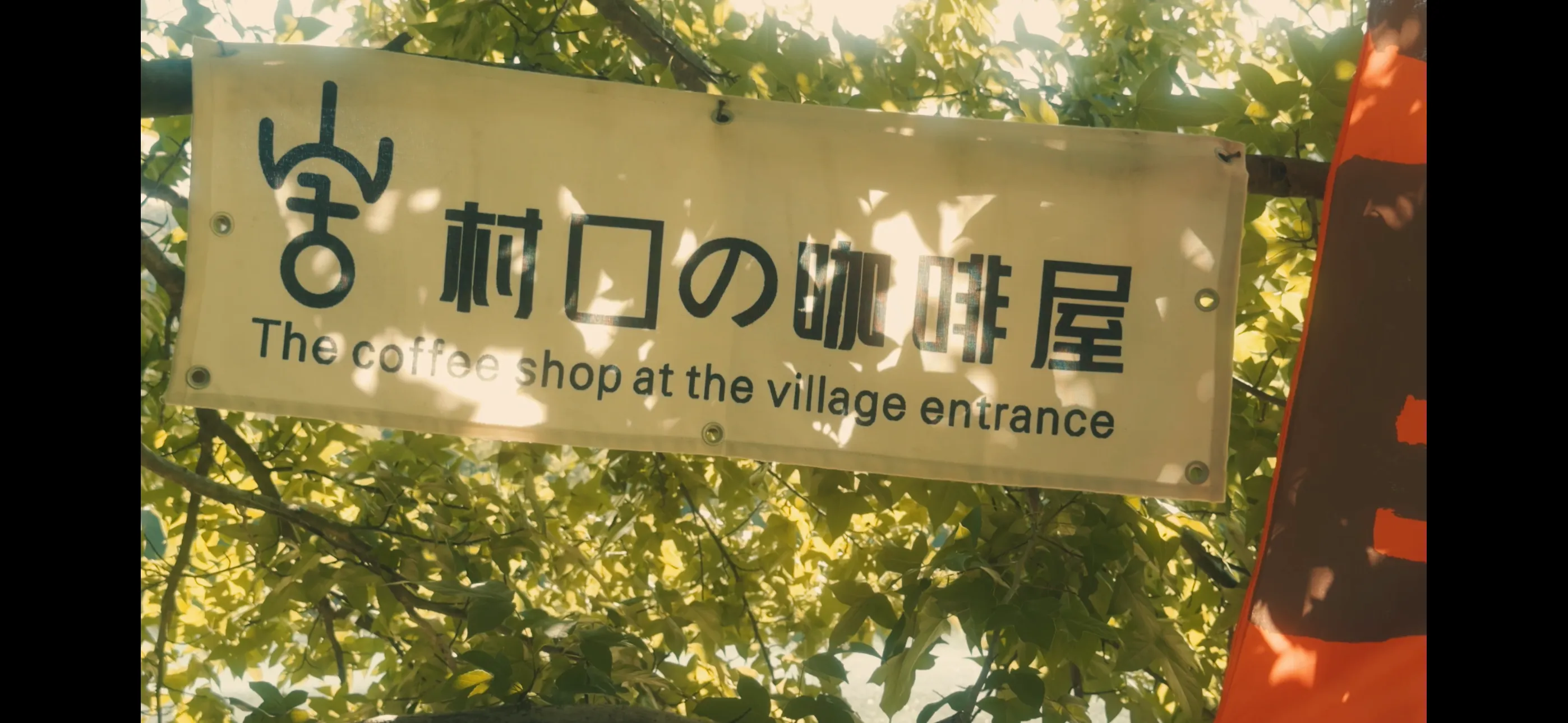
Frame 1 of 1拉萨
Notes
40-60% chance of seeing Everest; the cloud play of early monsoon.
Late June hits the very start of the Tibet monsoon — not yet ferocious. Day is clear, night is rain; daytime travel stays manageable.
Depart Lhasa (3650m) on G318, push to Kangma (4300m) and Gangga (4340m) — the Gampa plateau, view Cho Oyu.
D4: dawn 5–6 am push to Everest Base Camp (5200m), a 900m single-day jump; classic altitude-sickness waypoint.
D5: Saga (4513m) rest + acclimatize. D6: longest leg, 450km on G219 back to Shigatse (3850m). D7: G219 east, elevation drops gently.
On return, you can detour to Yamdrok Tso (4441m).